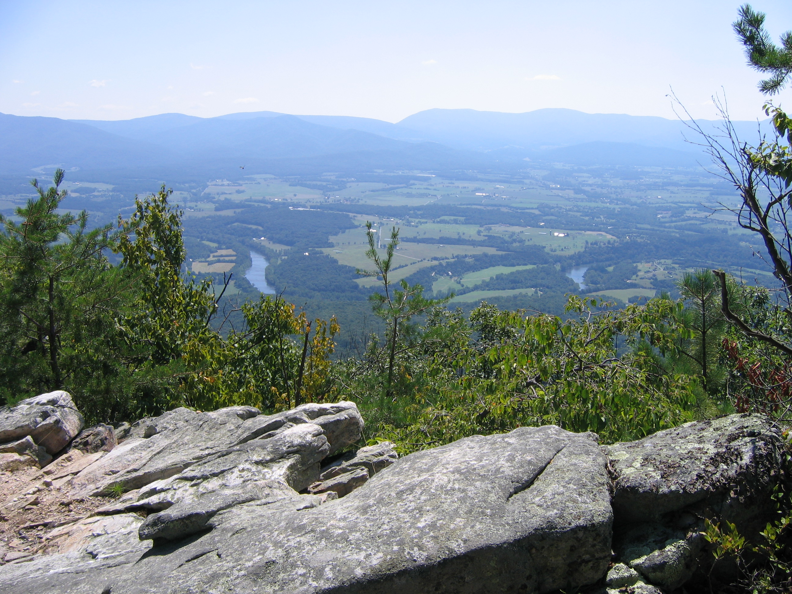
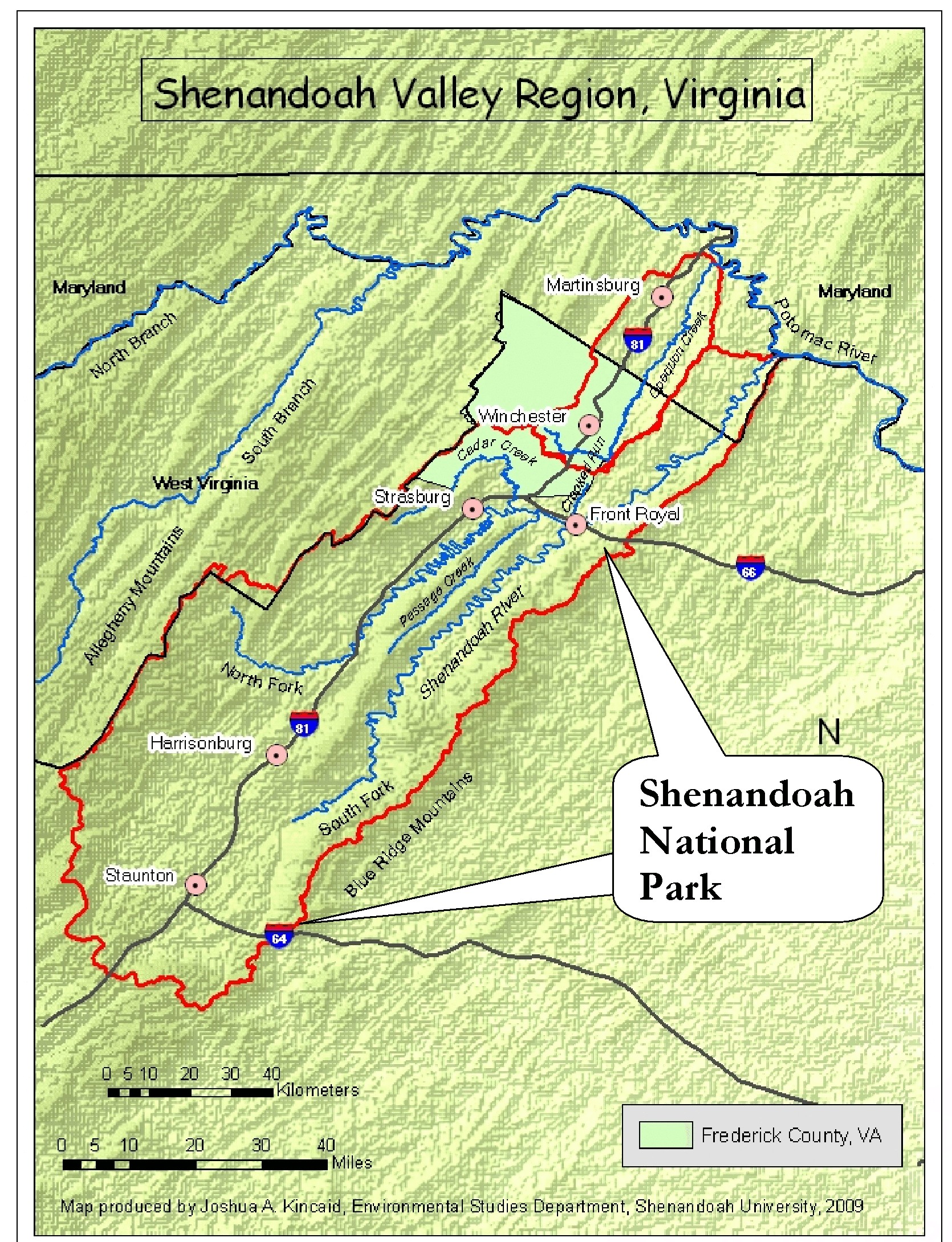
The famed Shenandoah River is the major waterway and drainage system of the Shenandoah Valley. It is ideal for canoeing, kayaking, fishing, and observing nature.
The North Fork of the Shenandoah River is approximately 95 miles long, while the South Fork runs about 150 miles. The Shenandoah River’s main stem, which begins where the forks meet in Front Royal, Virginia, is 57 miles long. The Shenandoah meets the Potomac River in Harpers Ferry, West Virginia.
The Shenandoah River’s average width is 150 feet. Its watershed drains 2,937 square miles including all or parts of Frederick, Clarke, Warren, Shenandoah, Rockingham, and Augusta Counties in Virginia. More than 300,000 people live here.
Directions:
Boat ramps and parking are available at numerous places. In Clarke County, these include the Rt. 50 bridge east of Winchester at Berry’s Ferry as well as the VDGIF ramp beside the low-water bridge on Rt. 624 at Morgan’s Ford. Other locations include the put-in ramp at Rt. 608 Lockes Landing (Clarke County) as well as the VDGIF ramp located off Rt. 340 beside the bridge over the North Fork near Front Royal in Riverton (Warren County).